Smart India Hackathon internal winner
BhuSamhita
One parcel, one ULPIN, every connected land record. A single layer across the separate land systems of Maharashtra, Uttar Pradesh and Gujarat, with GIS, validation and four languages. Winner of the Smart India Hackathon internal round.
- Built for
- Smart India Hackathon, internal round
- When
- 2026
- Team
- AIgniters
- My role
- Backend and integrations: everything behind the interface, except the frontend.
3states
4languages
SIHSmart India Hackathon internal winner
Land records in India sit in separate systems for the land record itself, registration, mutation, planning, tax and utilities, and every state organises them differently. A citizen who wants to confirm a parcel has to visit several portals that disagree on format, language and sometimes on the facts.
Replacing those systems is not realistic. The problem the hackathon asked us to solve was how to let them speak to each other without forcing every state to rebuild.
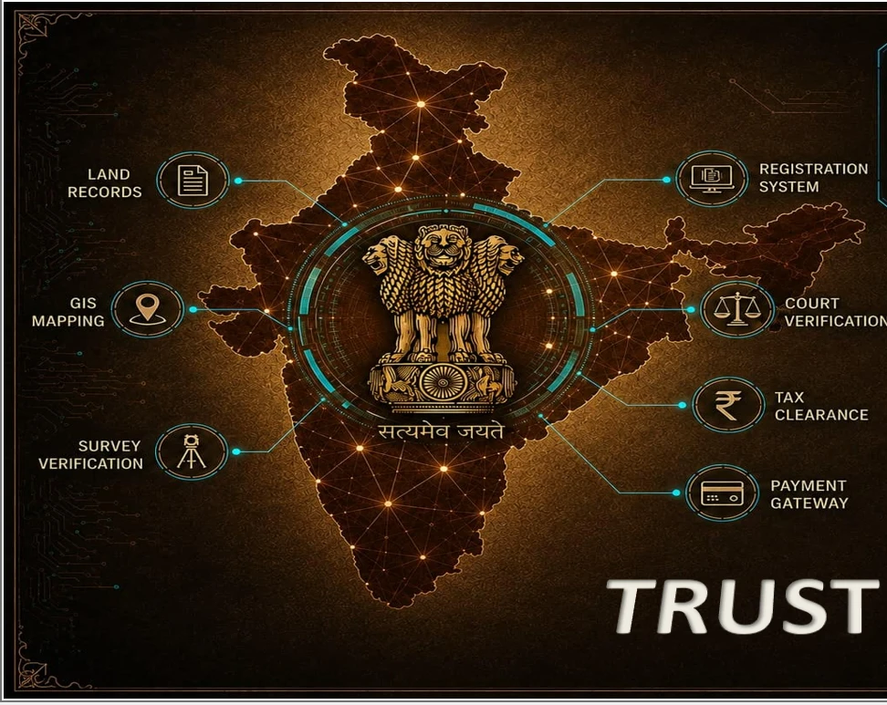
BhuSamhita is an integrated, GIS-based digital infrastructure for land governance: one parcel, one ULPIN (Unique Land Parcel Identification Number), every connected land record. It federates instead of replacing. A canonical land model sits in the middle, and state adapters for Maharashtra, Uttar Pradesh and Gujarat translate each state’s records into it. Parcels are identified through a ULPIN-based registry, so the same plot can be traced across land records, registration, mutation, planning, tax and utility data.
On top of that sit Unified Land Profiles that bring land records, registration, mutation, land use and encumbrance together for one parcel, GIS-based parcel visualisation, and a cross-record validation engine that surfaces actionable data-quality findings for government officers. Two portals use it: a citizen portal and a government officer portal with parcel search, e-services, analytics, role-based access and audit trails. The interface runs in English, Hindi, Marathi and Gujarati.
I built everything except the frontend: the integrations that connect three states’ land systems, and the Python backend behind them. That covers the state adapters, the canonical land model, the ULPIN parcel registry, the validation engine, glossary and translation, analytics and workflow, role-based access and the audit trail. Tests cover normalisation, validation, immutability, GIS and the API. An optional AI assistant, built on the Anthropic API, uses the selected parcel’s records and validation findings as its context.
All data in the demo is replicated government-system data used for demonstration only.
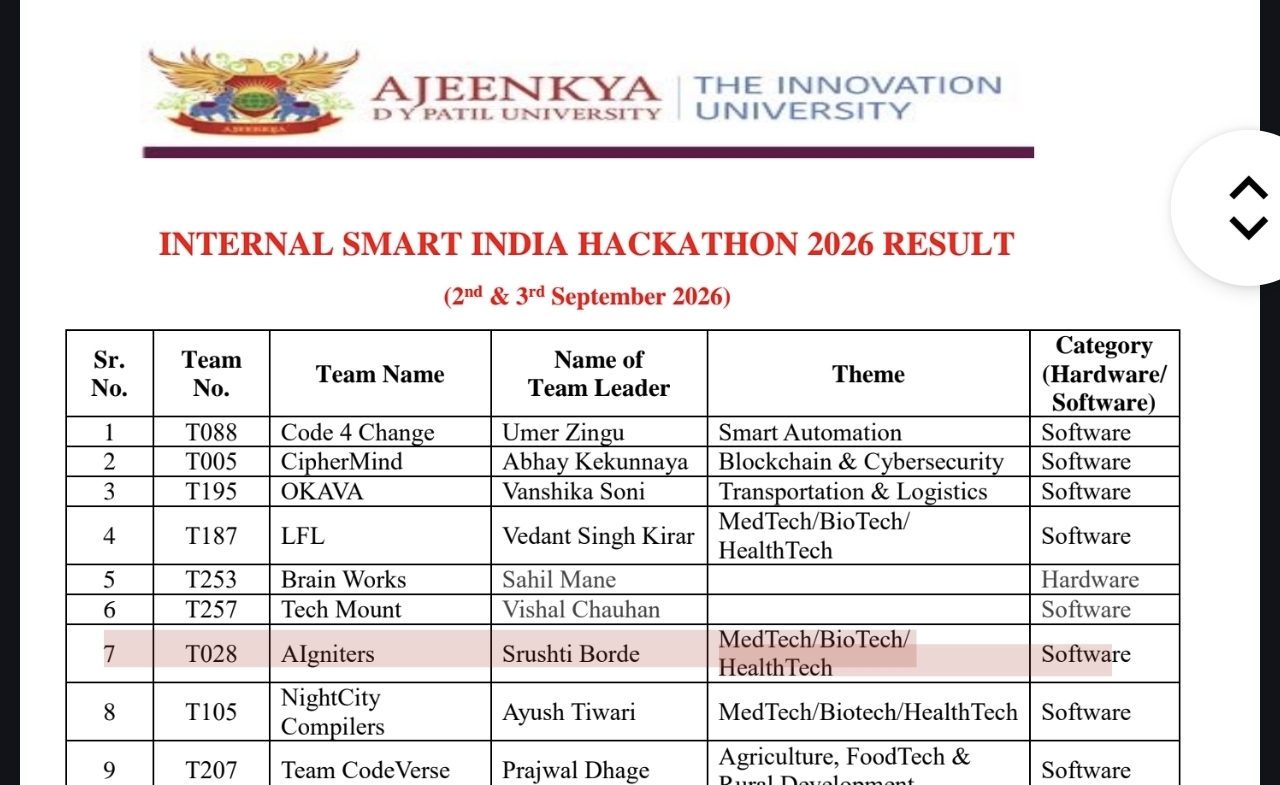
BhuSamhita won the internal round of the Smart India Hackathon (SIH) at Ajeenkya DY Patil University.
- Python
- FastAPI
- React
- GIS
- GeoJSON
- SQLite
- REST APIs
- ULPIN
- RBAC
- Anthropic API
How it works
- 1AdaptersOne adapter each for Maharashtra, Uttar Pradesh and Gujarat keeps every state’s own data structure
- 2ModelA canonical land model gives every source the same shape
- 3IdentityULPIN-based parcel registry so a plot is the same plot everywhere
- 4VerifyA validation engine cross-checks sources and flags data-quality problems
- 5ServeA citizen portal and state-specific government workflows with mutation and verification reports